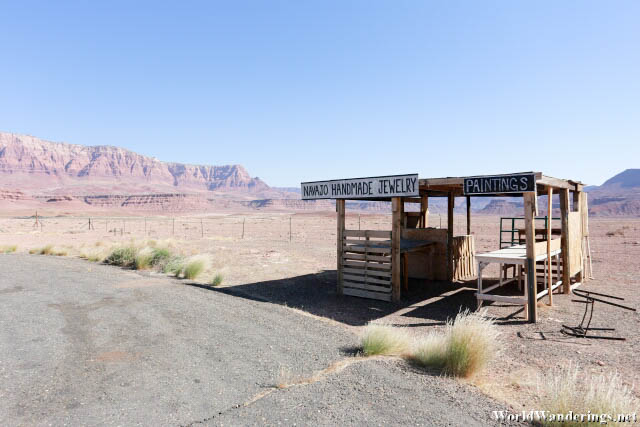
I stopped for a photo break on my way to the North Rim of the Grand Canyon. There was another car here whose passengers were also doing the same thing. They were behaving exactly like I was. Getting out of the car, quickly take photos and, quickly get back in the car because it was very warm. There was an approaching set of impressive cliffs which I seem to be heading towards. At this point, I think it was still too far away to get decent photos of the place. This just gives you an idea of just how vast this area is. When you think that some place is close enough to photograph, you realize you have to drive thirty more minutes just to get there.
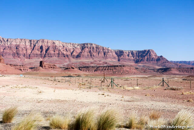
That set of cliffs is the Vermillion Cliffs National Monument. It certainly looks impressive and I was determined to go there for a bit to take photos. However, I didn’t know that there was a landmark that I would be running into. The highway I was traveling on actually crosses the Colorado River. The highway actually rather awkwardly tries to avoid the numerous cracks on the ground by going back upstream and looking at the map, it seems that this would be the best place to build a bridge without it falling down within the next few years. This is Navajo Bridge.
[xmlgm {https://www.worldwanderings.net/kml/NavajoBridge.kmz} zoom=19]


