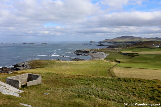
We were at another remote location here in county Donegal, of which it never seems to run out of. Malin Head is another one of those places which you never thought you would be able to visit. Malin Head is a bit noteworthy since it is considered the northern most point of the island of Ireland. Not exactly mind blowing but it is still an interesting fact. These names have been getting to me, Horn Head and now Malin Head. What is exactly a head? Apparently, a head in this context is similar to a peninsula. Usually, these places jut out into the sea and have steep drops. Based on what I am seeing, Ireland, has heads in abundance. The wind isn’t especially powerful here in Malin Head and the weather is cooperating as we have a bit of blue skies, hopefully, this keeps up.
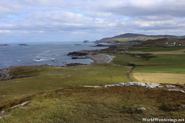
Malin Head, owing to its northernmost location has strategic importance in terms of military use. During the war, its was used as a radio station in the monitoring of enemy ship movements. It is now a site of the meteorological station for Ireland. First things first, we were be exploring the part which is closest to the sea. Usually this is the most spectacular part of the visit. There is a nice paved road all the way to the top. You can see that there are some ruins on top of the hill. There seem to be a few people on top of the hill, hopefully, this is worth it.
[xmlgm {https://www.worldwanderings.net/kml/MalinHead.kmz} zoom=19]


